![[Desert and Sea: Visions of Baja California - El Desierto y el Mar: Imagenes de Baja California]](images/bnr-desertandsea-anim.gif) |
 |
|
|
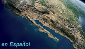
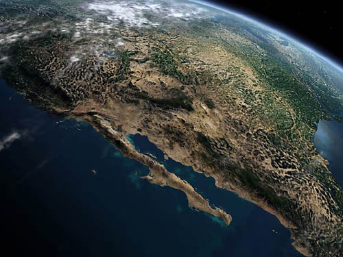 Composite satellite image of North America and the eastern Pacific Ocean
Desert and Sea | Site Index | Ocean Oasis
San Diego Natural History Museum & PRONATURA
© 2000 CinemaCorp of the Californias
|
|
|
|
Desert and Sea | Site Index | Ocean Oasis
San Diego Natural History Museum & PRONATURA
© 2000 CinemaCorp of the Californias